Using spatial data for biodiversity

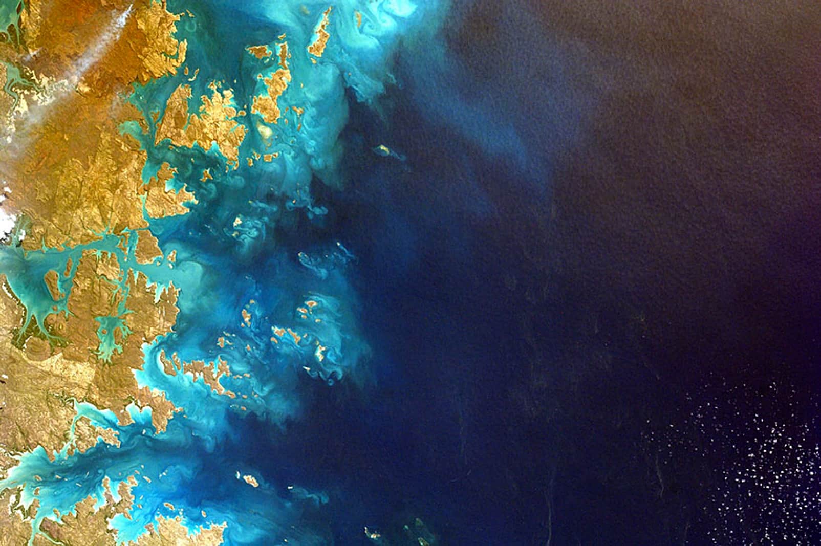
In this micro-course, you will learn about the value of remote sensing for monitoring biodiversity and ecosystem conservation, and will gain an introduction to freely available spatial data analysis tools to increase national use of maps that can guide decision-making in biodiversity conservation.

About this course

NASA’s Applied Remote Sensing Training Program (ARSET) and the United Nations Development Programme (UNDP) are pleased to offer a FREE micro-course “Using Spatial Data for Biodiversity.” This course draws from and builds on the webinar series “Using the UN Biodiversity Lab to Support National Conservation and Sustainable Development Goals,” which took place between 24 March and 7 April 2020.

Global biodiversity-based uses of remote sensing are crucial for conservation action plans. Featuring the UN Biodiversity Lab, NASA-supported projects, and country case studies, this micro-course is designed to guide policymakers, technical experts, and other stakeholders to advance their use of spatial data and achieve their commitments to the Convention on Biological Diversity (CBD), UN Framework Convention on Climate Change (UNFCCC), and the 2030 Agenda for Sustainable Development (2030 Agenda).

Course details

Learning mode
Type
Short course
Duration
4 hours
Starting date
Any time
Registration date
Open for enrolment

What you’ll learn

By the time this micro-course is completed, you will be able to:

  • Identify key global agreements on biodiversity and sustainable development
  • Describe the value of spatial data for monitoring biodiversity conservation
  • Explain how to overcome some of the common obstacles to using spatial data at the national level
  • Use UN Biodiversity Lab to visualize spatial data, run analyses, and create maps in your region of interest
  • Utilize case study examples from multiple countries as context for your work

Course partners

Course outline

  • Lesson 1: Introduction to Spatial Data and Policies for Biodiversity
  • Lesson 2: UN Biodiversity Lab: Introduction and Training
  • Lesson 3: How Countries are Using Spatial Data to Support Nature Conservation

Requirements

No prerequisites